Map TILES & TERRAIN DEM | COMING 2024
MAP & TERRAIN DATA
Coming in 2024: Affordable custom solutions for 2D & 3D map data for your application.
Building a GIS application is complex enough as it is – getting a pipieline for map & terrain data imports up and running should be the least of your worries.
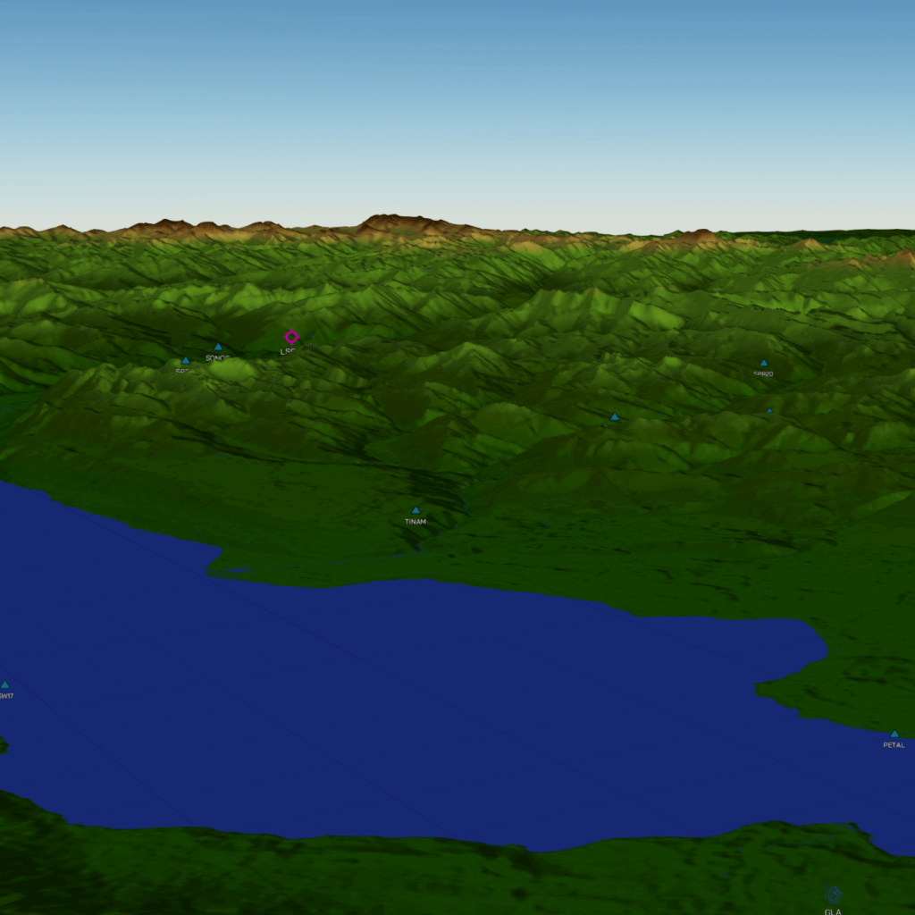
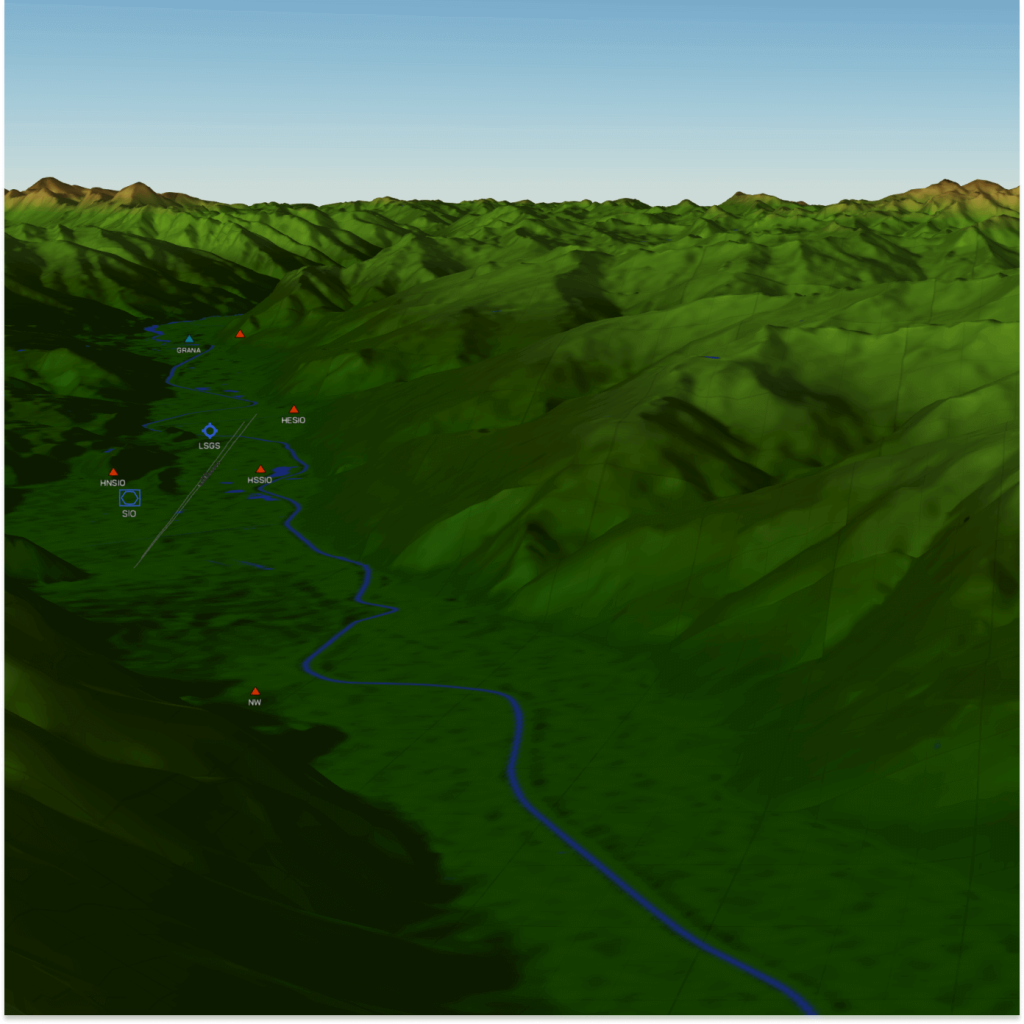
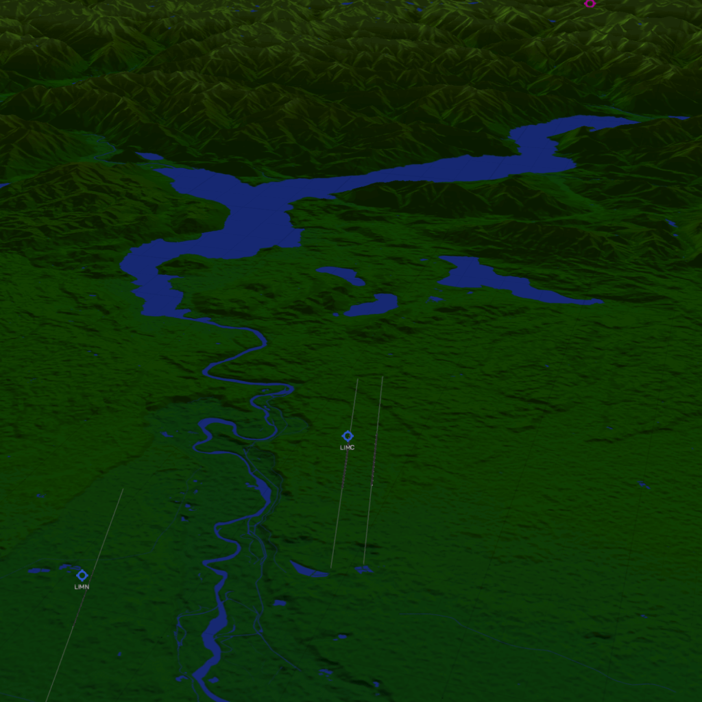
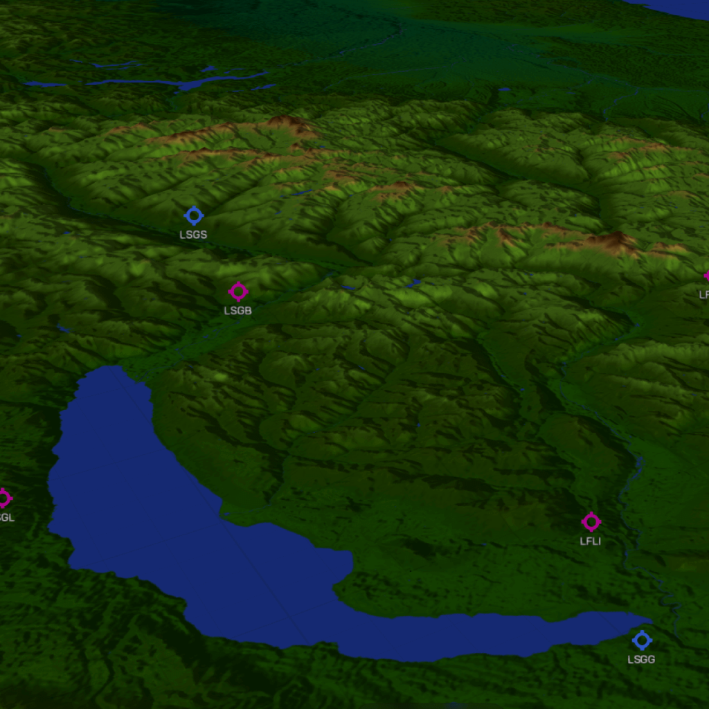
While EYEVIONICS’ data and infrastructure can be used for a variety of applications, it is built and maintained specifically for use in flight simulation. From raw DEM elevation files to pre-processed height maps and web map tile layers; the data can be served either in the EYEVIONICS cloud, on your premises or fully offline.
Affordable
Finally get your map & terrain data at an affordable price! And best of all, the price will be tailored to your needs.
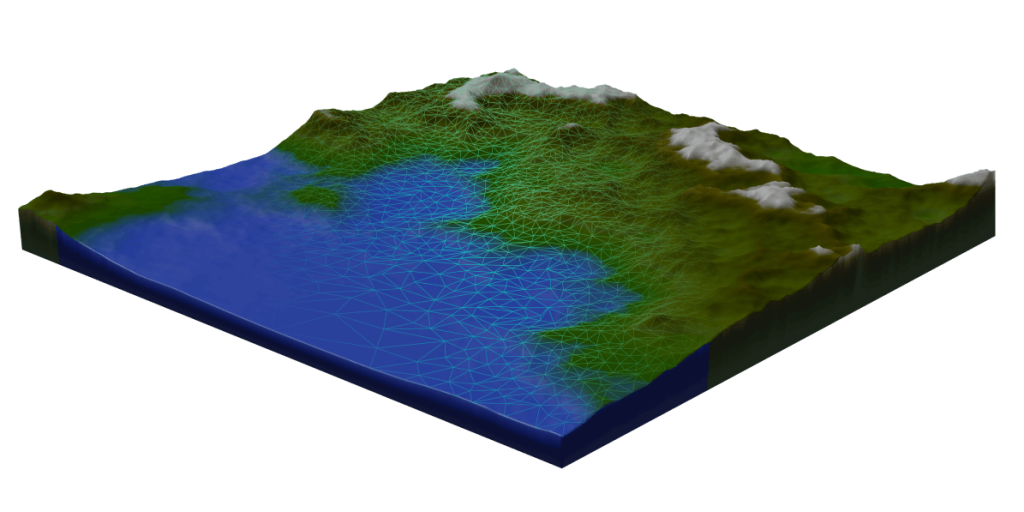
DEM + Quantized Mesh
Load terrain either from grayscale DEM files, or directly as space-saving & performance friendly Quantized Mesh files.
Near-Global Coverage
With the exception of polar latitudes, both terrain and map data are available with global coverage.
Multiple Layers
Multiple 2D tile layers are available, including hydrography, hillshade, elevation tint and the EYEVIONICS base map.
30m Terrain Resolution
Get terrain as with 30m accuracy. Higher resolution areas planned for the future, for example mainland United States.
Custom Solutions
Whatever you need, we can build a solution together. Either hosted in the cloud, on your premises or offline on your users’ devices.